Wabash and Erie Canal
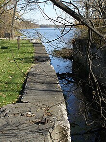
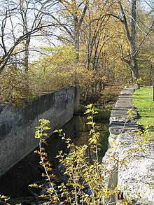
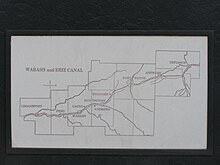
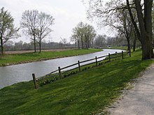
Disused canal in IndianaThe Wabash and Erie Canal was a shipping canal that linked the Great Lakes to the Ohio River via an artificial waterway. The canal provided traders with access from the Great Lakes all the way to the Gulf of Mexico. Over 460 miles long, it was the longest canal ever built in North America.
Read article
Top Questions
AI generatedMore questions
Nearby Places
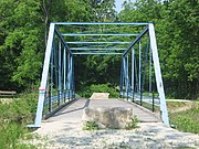
Pulaski County Bridge No. 31
United States historic place

Carroll County Courthouse (Indiana)
United States historic place

Delphi Courthouse Square Historic District
Historic district in Indiana, United States

Murphy Memorial Drinking Fountain

Delphi City Hall
United States historic place
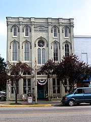
Niewerth Building
United States historic place

Barnett-Seawright-Wilson House
Historic house in Indiana, United States

Delphi Methodist Episcopal Church
Historic church in Indiana, United States

